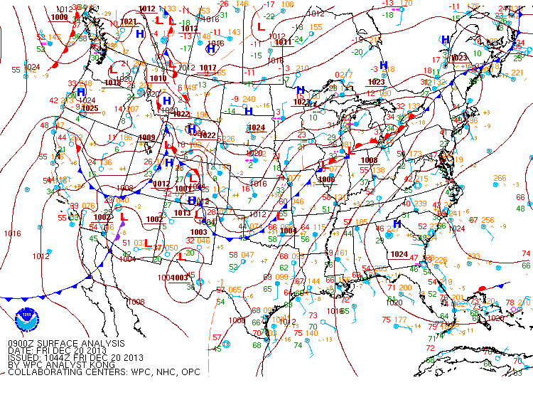
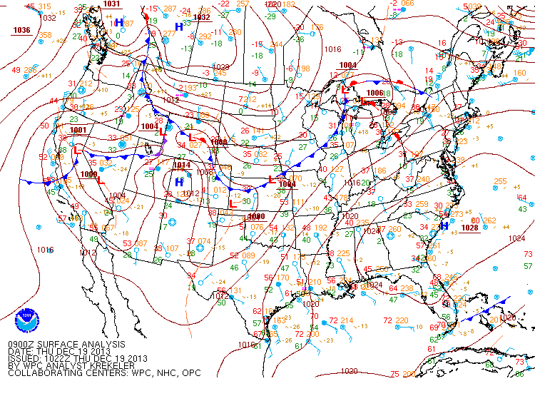
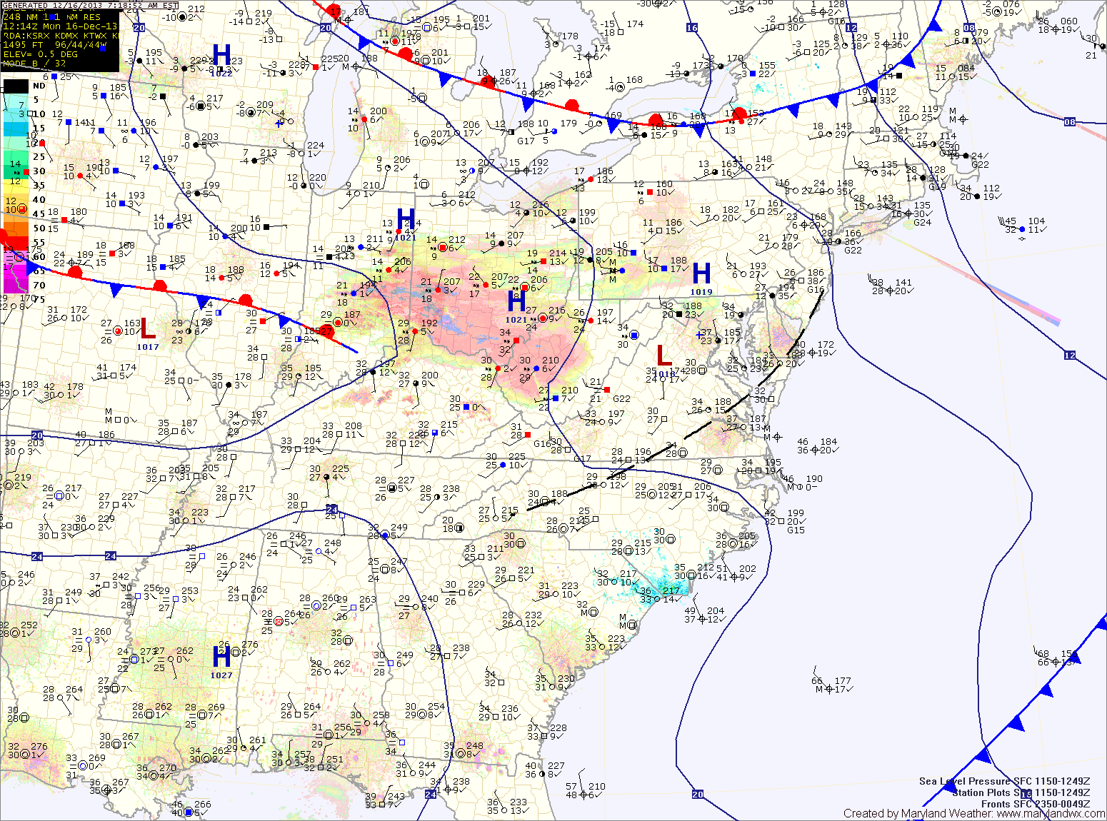
Rain Today; Chance of Snow Showers Tomorrow

Current Surface Map
Current Surface Map
A conveyor belt of moisture originating in the tropical Pacific continues to slide up the coast ahead of a cold front. Expect periods of rain through late afternoon today. Temperatures will continue to drop through the day, falling into the 40s by evening.

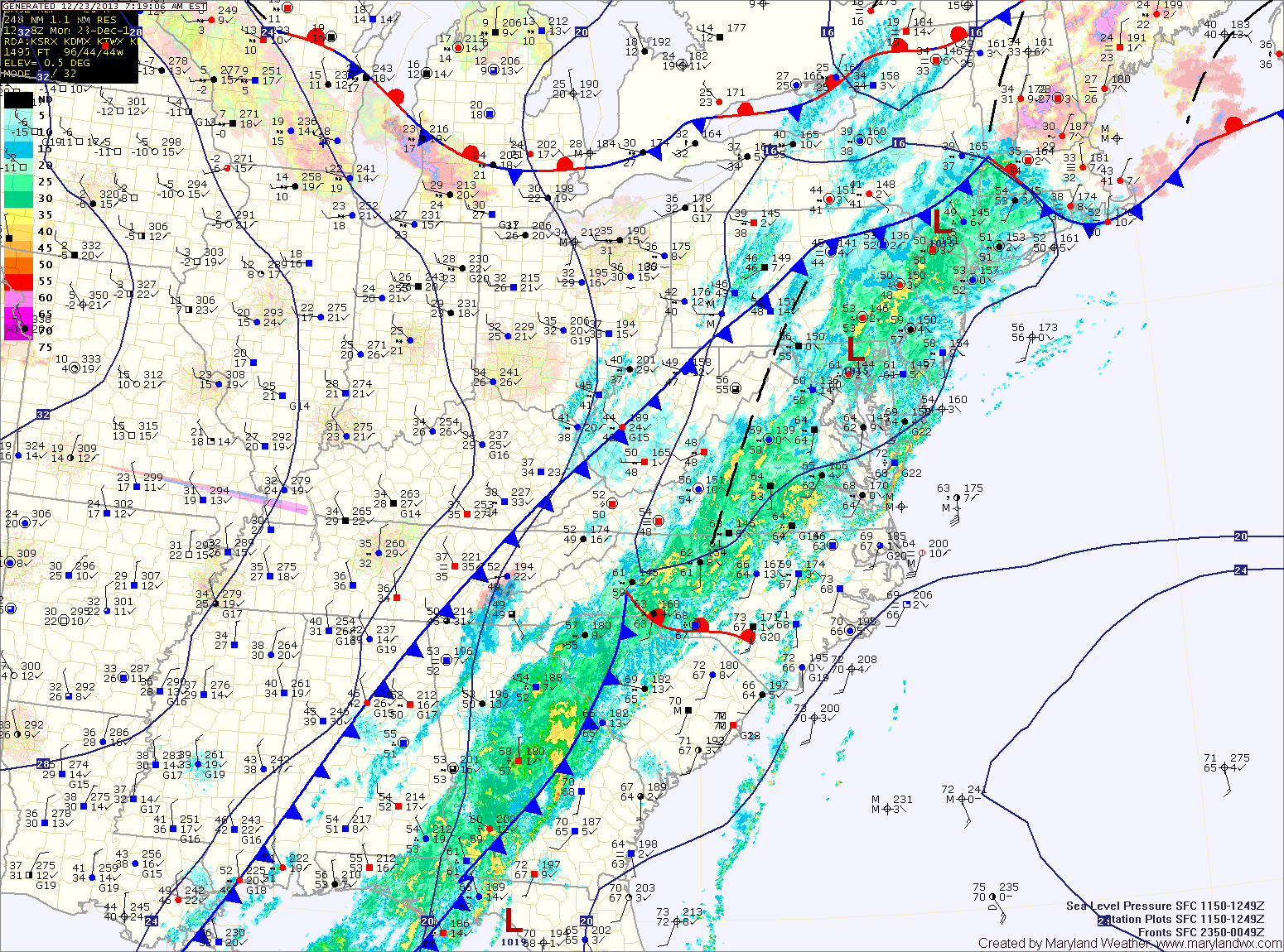
The front clears the area tonight, bringing an end to the rain and allowing colder air to filter in. Meanwhile, a potent upper level system will swing through tomorrow bringing the possibility of snow squalls during the afternoon, mainly across the mountains. Brief isolated snow showers could make it into Central Maryland, with little to no accumulation expected. Temperatures will be above freezing (mid to upper 30s) so any accumulation will quickly melt.

Partly Sunny and Warm Today & Tomorrow; Showers Sunday

Current Surface Map
Current Surface Map
With high pressure off the southeast coast, warmer air continues to flow into the region. Today will be partly sunny with highs around 60.

Tomorrow will be similar to today but a few degrees warmer with highs in the low to mid 60s.

Clouds and rain showers will move into the area Saturday night and Sunday as a cold front approaches from the west.

The front will strengthen the southerly flow ahead of it, pushing highs on Sunday up to around 70.

Warming Up through the Weekend

Current Surface Map
Current Surface Map
High pressure has moved off the southeast coast. Southerly flow is developing and will transport warmer air into the region. Expect mostly sunny skies today with highs in the mid 50s.

The flow will strengthen tomorrow as a cold front moves in from the west. Temperatures will climb to near 60 degrees as clouds increase through the day.

Winter begins on Saturday but it will definitely feel more like spring. Expect more clouds than sun but despite those clouds, temperatures will continue to warm. Highs will be in the mid to upper 60s.

Sunny and Cool Today; Warmer into the Weekend

Current Surface Map
Current Surface Map
High pressure builds into the region today providing ample sunshine but continued cold temperatures. Highs today will be in the mid to upper 30s.

The high pushes off the coast tomorrow allowing southerly flow to develop. This will usher in warmer air up the eastern seaboard. Expect mostly sunny skies and highs in the mid to upper 40s tomorrow.

Temperatures will continue to warm Friday as a cold front stalls out to our northwest. Highs on Friday will push into the mid 50s under partly sunny skies.

Flurries this Morning; Light Rain or Snow Showers this Afternoon

Current Surface Map
Current Surface Map
Areas of light snow or flurries are moving through the state this morning with little to no accumulation. Expect another round of light rain or snow showers this afternoon as a cold front moves through the area. While the next round will be a little more widespread, temperatures will be warmer so little to no accumulation is expected. Highs today will be around 40.

High pressure builds in tomorrow. Expect mostly sunny skies and highs in the mid to upper 30s with breezy northwest winds.

Thursday will start a warming trend that will last into the weekend. Expect highs to reach the upper 40s under mostly sunny skies.

Partly Sunny Today; Light Snow likely Tonight into Tomorrow

Current Surface Map
Current Surface Map
Expect more clouds than sun today with highs in the mid to upper 30s.

Tonight, a clipper system will approach from the west, bringing a swath of light snow through the area into tomorrow morning.

The precip will be light and totals of an inch or less are expected with the highest amounts near the Mason-Dixon line.

The snow should come to an end during the afternoon hours as westerly winds increase. Highs will be in the upper 30s.

High pressure builds in on Wednesday resulting in partly sunny skies and highs around 40.

Mostly Sunny Today; Wintry Mix Tomorrow

Current Surface Map
Current Surface Map
High pressure will provide a mostly sunny day today with highs in the mid to upper 30s.

The high will move off the coast later today as an area of low pressure approaches from the southwest. The low will spread precipitation into the area tomorrow morning likely in the form of snow.

The snow will change to sleet during the afternoon and then eventually to rain by the evening along and east of I-95. This area may see up to an inch of snow before changing over.

Cold and Becoming Mostly Sunny Today

Current Surface Map
Current Surface Map
A dry arctic cold front has passed through this morning, allowing cold arctic air to flow into the region on breezy northwest winds.

Highs this afternoon will only be a few degrees warmer than current temperatures, topping out around 30.

Tomorrow will be a few degrees warmer with highs pushing into the mid to upper 30s under partly sunny skies.

An area of low pressure forming over Texas will move along the Gulf coast and turn northeastward towards our area and impact the area on Saturday. At this time, it appears the storm will move off the east coast and bring wintry precipitation to the state.

Mostly Sunny but Cold Today; Wintry Mix this Weekend?

Current Surface Map
Current Surface Map
Following a rather active pattern to start this week, things will calm down for the second half.

A reinforcing cold front will bring in high pressure and colder air today. Expect mostly sunny skies and highs in the low 30s.

The core of the cold air will move in tomorrow. Expect sunny skies with gusty winds and highs only in the mid to upper 20s.

Temps will rebound some on Friday in advance of the next storm system that will affect this weekend’s weather. Highs will be in the mid to upper 30s under mostly sunny skies.