
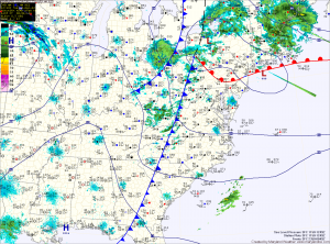
A cold front will push through this morning, clearing the leftover clouds and sprinkles. Highs today will be in the mid 50s.
Tomorrow will feature sunny skies as high pressure builds overhead. Highs will be in the ow 50s.
Clouds will increase on Thursday as a strong cold front approaches from the west. Showers associated with the front will move in late in the day and last through the overnight.
Highs Thursday will be in the low 50s.
The front will clear the area late Thursday night into Friday morning. It will be followed by gusty northwest winds and colder temperatures.
Highs Friday will struggle into the low 40s, although it will feel much colder due to the gusty winds.
The cold air will stick around through the weekend and into next week, with highs Saturday and Sunday in the low 40s despite plenty of sunshine.
Yesterday’s Weather Station Stats:
High Temp: 52.1°
Low Temp: 47.7°
Rain: 0.12″