
Highs today will be in the mid to upper 40s, warming into the low 50s tomorrow.
Saturday will be a transition day with clouds increasing through the day. Highs will be in the low 50s.
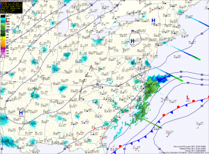
As an area of low pressure moves into the region, there is a slight chance of showers Saturday night and a better chance on Sunday. Highs will be around 50.
A period of unsettled weather is expected next week. Rain chances continue Monday and Monday night, with a break expected Tuesday into Wednesday before another storm system affects the area Thursday and Friday.
Highs through the week will be in the upper 40s to low 50s.
Behind those systems, it looks like we will settle into a colder pattern for next weekend and into the week of Christmas.
Yesterday’s Weather Station Stats:
High Temp: 45.3°
Low Temp: 32.6°
Rain: 0.00″