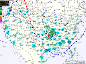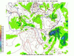
Computer models are in agreement that an area of low pressure currently over Missouri will dive to the Gulf Coast where it will intensify and turn the corner to move up the eastern seaboard.
While they agree on this much, there is slight disagreement in the eventual track and as is always the case with these storms, the exact track will determine our weather and a small change in the track can have drastic effects on the forecast.

As the storm pulls away, there is a chance that enough cold air could wrap in behind it to bring the rain/snow mix into central Maryland Thursday before ending.
The low will push north of our area and high pressure will build in late Thursday.
Friday and into the weekend currently look mostly sunny and warmer with highs back into the 60s.
Yesterday’s Weather Station Stats:
High Temp: 50.3°
Low Temp: 32.5°
Rain: 0.00″
