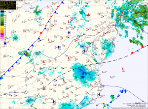
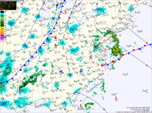
Nice today, showers and storms tomorrow
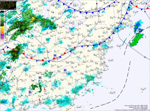
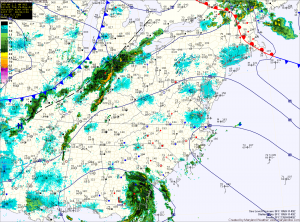
Current Surface Map
Today will be mostly sunny and pleasant, with highs in the low 80s and lower humidity.

Unfortunately, the nice weather will be short lived as a strong area of low pressure will approach the state tomorrow.

The system will bring a warm front through the area during the day, followed by a cold front overnight. These features will allow showers and thunderstorms to develop during the afternoon and move through. Some of the storms could become severe with damaging winds, hail and heavy rainfall as the primary threat.

Gradual clearing today, nice tomorrow

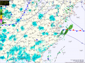
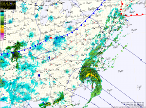
Current Surface Map
Expect gradual clearing today, as the cold front clears the area. Skies should turn partly sunny this afternoon as highs climb into the low to mid 80s.

Tomorrow the state will be between weather systems, as the front and Tropical Storm Beryl move off to the east and another area of low pressure approach from the west. Expect mostly sunny skies and highs around 80 degrees.

A warm front will move through on Friday, followed by a cold front Friday night into Saturday. This will trigger another round of showers and thunderstorms Friday afternoon and Friday night. Just like last night’s storms, locally heavy rainfall can be expected.

Scattered thunderstorms today, cold front tonight

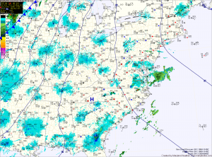
Current Surface Map
The heat and humidity will last one more day, as high pressure is pushed east and a cold front approaches from the west. Ahead of the front, afternoon and evening thunderstorms will develop across the state. The storms will be slow moving and will produce locally heavy rainfall. Highs today will be around 90 degrees.

Shower and thunderstorm chances increase tonight as the cold front crosses the state

Tomorrow will still be warm, with highs in the mid 80s, but humidity levels will decrease, making it feel much more comfortable. A cold front associated with a deep area of low pressure will move through tomorrow night. This will set the stage for a nice Thursday, with highs in the low 80s.

Hot, humid Memorial Day weekend

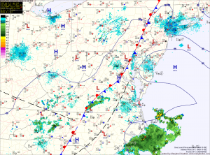
Current Surface Map
The trough of low pressure that has brought unsettled weather to the area all week has pushed off the coast and high pressure has started to build in behind it. The high is situated to the south of the area and as it moves off the coast this weekend, southerly flow will increase, drawing warm humid air into the region for the weekend and into next week.

Today will become mostly sunny, with highs in the low to mid 80s.

Expect more of the same tomorrow with temperatures a bit warmer and a slight chance of thunderstorms in the afternoon. Highs will push into the upper 80s to around 90.

More showers and storms today, hot Memorial Day weekend on tap

Current Surface Map
The area of low pressure that has brought unsettled conditions to the area will persist one more day, continuing the chance of scattered showers and thunderstorms this afternoon and evening. The storms will again be slow moving and capable of flash flooding. Highs today will be around 80.

The low weakens and is dislodged to the east tonight as high pressure begins to build in tomorrow. The high will bring a warm and humid airmass into the area, setting the stage for a very summer-like weekend. There will be a chance of garden-variety, isolated showers and thunderstorms each day with highs in the mid 80s tomorrow, rising to the low 90s by Monday.

Scattered showers and storms again today

Current Surface Map
Low pressure continues to sit across the eastern US, bringing unsettled weather to the region. Expect showers and thunderstorms to develop this afternoon, bringing locally heavy rain, gusty winds and possibly small hail. Highs today will be near 80.

The trough of low pressure will begin to weaken tomorrow, but will still provide a focus for showers and thunderstorms. Highs tomorrow will again be near 80 degrees.

Friday will be a transition day, as the trough weakens and is pushed out by an area of high pressure. Isolated showers and thunderstorms will still be possible, but will not be as widespread as they have been. Highs will begin to creep upwards, reaching the mid 80s.

Another round of showers and storms

Current Surface Map
A trough of low pressure continues to sit over the area, providing easterly flow and a focus for shower and thunderstorm development. Expect scattered showers and storms to redevelop later this morning and into this afternoon. Locally heavy rainfall can be expected. Highs will be in the upper 70s to around 80.

More of the same can be expected tomorrow as the trough remains in place. Highs will again be around 80.

The trough will weaken as high pressure builds in Thursday. Rain chances will diminish as we move through the day Thursday and into Thursday night. Highs will be in the low 80s.

Showery week ahead

Current Surface Map
A blocking pattern over the Atlantic combined with low pressure over southeastern Virginia will continue to provide easterly flow and showers today. Expect scattered showers to continue to move into the area from the east through this afternoon and into tonight. Highs will top out in the low 70s.

The other notable weather feature is the first Tropical Storm of the season. Tropical Storm Alberto formed over the weekend off the South Carolina coast. The storm currently has sustained winds of 40mph and will move away from the coast as it weakens and moves out to sea and will not affect the area.