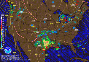
After watching the models shift the storm track north yesterday morning, all of the models began shifting the track back to the south through the day, and last night, shifted far enough south to miss the state completely.
Overnight, they have shifted back north again slightly, and are coming to a solution that will take the storm off the Carolina coast. This track will put us on the extreme northern edge of the precipitation and as mentioned in yesterday’s post, the northern edge has a sharp gradient where there is a few inches of snow, to nothing over about 50 miles. A wobble in the track of the storm would be the difference in whether we see accumulating snow or not.
The other issue working against snowfall here is the lack of cold air at the surface. In order for our area to get accumulating snow, we will need heavier precipitation to cool us down. It doesn’t appear that we will get into any of the heavier precipitation so surface temperatures will not cool enough to support accumulations.
At this point, it appears a slushy inch is possible across central and southern Maryland with less to the north. So it goes this winter.
Things definitely could change, and a small change could make the difference here on the northern edge. If warranted, I will update again this evening.
