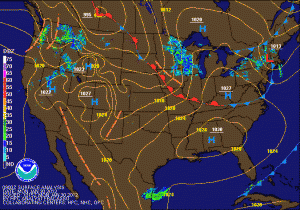
 High pressure will continue to build into the region today, bringing party sunny skies to the area. It will slide off the coast tomorrow allowing southerly flow to develop, sending temperatures into the low 60s tomorrow and mid to upper 60s Wednesday.
As the high continues to move off the coast, rain chances will increase Wednesday night and Thursday as a cold front with a weak low pressure system move through. The front will knock temperatures back to near normal, with highs in the low 40s through the weekend.
Next week is looking rather interesting as the models are hinting at a change in the pattern that would bring cold Canadian air into the Eastern US. They are also hinting at a possible Nor’Easter towards the middle of the week. Stay tuned! Winter isn’t over yet!
