Highs will again be in the low 80s today, ending the stretch of nice, post-Irene weather. Tomorrow, highs will be near 90 with a chance of afternoon thunderstorms. The heat and storm chances continue Sunday, before the front moves through on Sunday night. The front will then stall out just to our south and begin to interact with the system in the Gulf of Mexico, allowing lower temperatures but also higher rain chances on Labor Day.
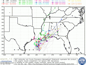
As the Gulf system (soon to be named Lee) moves inland, it is beginning to look like it will be drawn into the area, setting the stage for a potentially heavy rain event mid to late week next week.
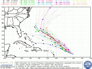
Katia continues to trek across the Atlantic and is still expected to become a major hurricane. Likewise, it is still expected to curve before hitting the East Coast.


